
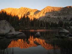
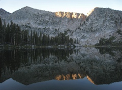
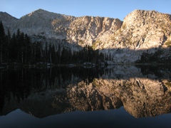
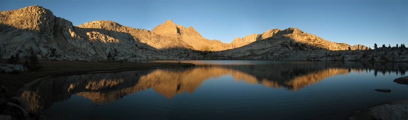
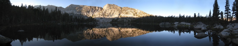
Three Studies in Lighting and Alpenglow
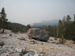
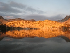
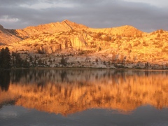
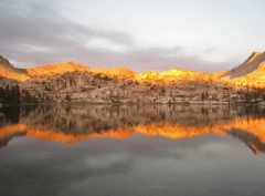
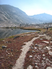
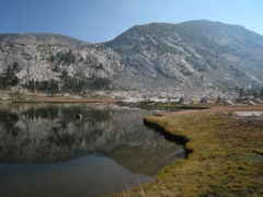
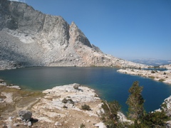
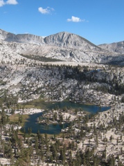
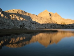
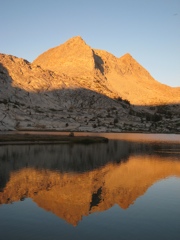
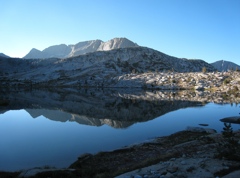
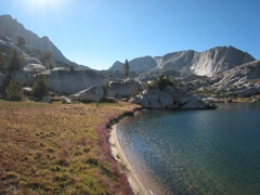
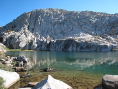
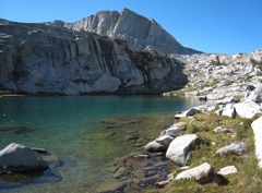
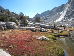
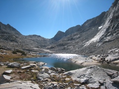
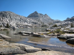
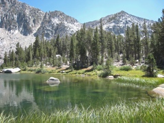
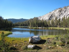
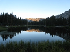
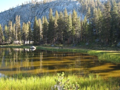
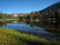
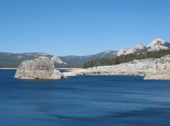
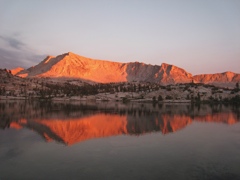
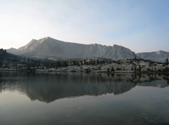
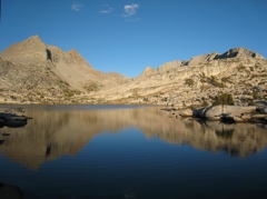
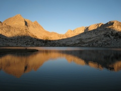
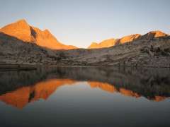
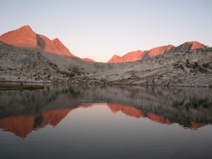
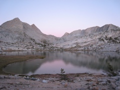
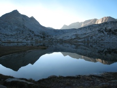
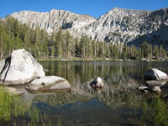
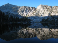
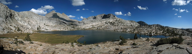
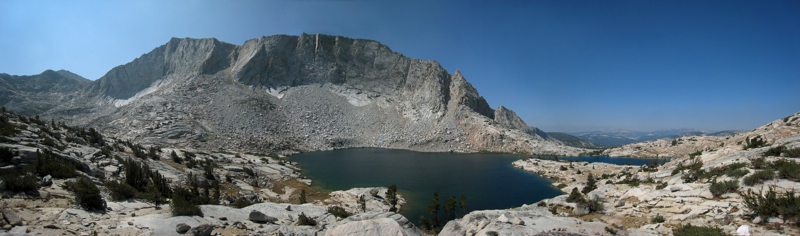
Disappointment Lake
|
|
|

|
|
|
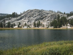
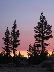
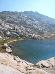
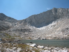
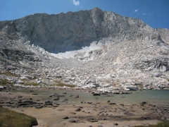
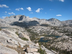
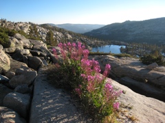
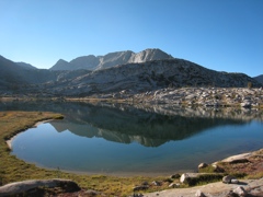
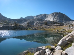
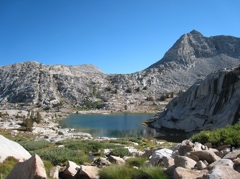
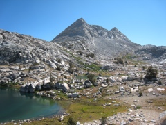
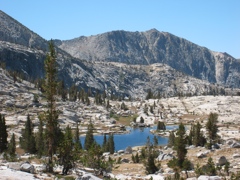
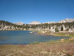
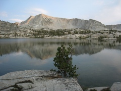
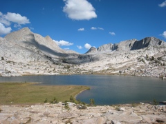
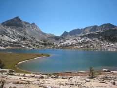
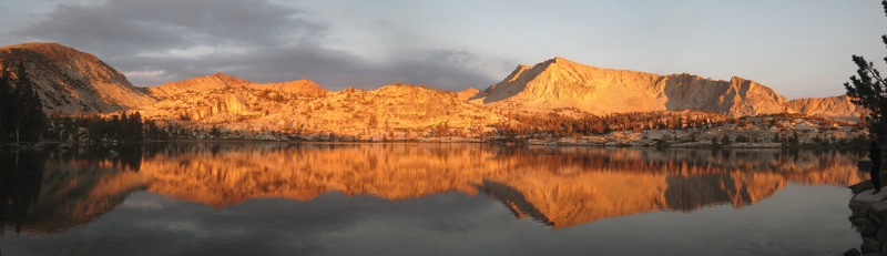
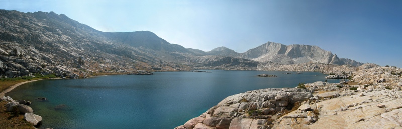
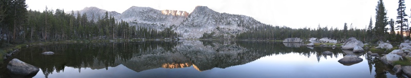
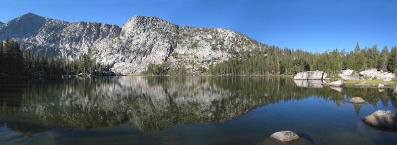
Schoolmarm Lake
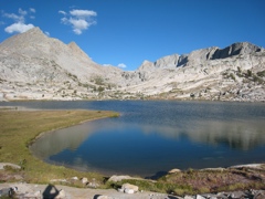
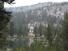
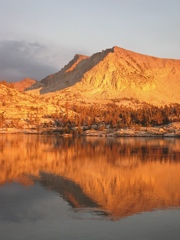
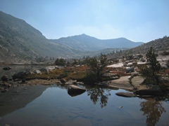
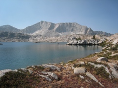
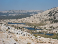
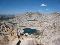
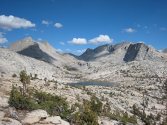
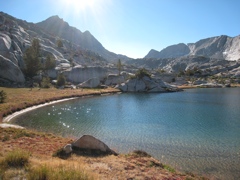
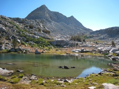
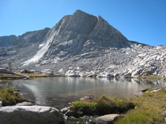
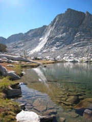
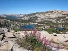
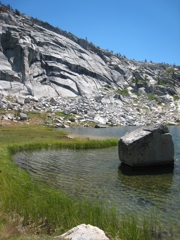
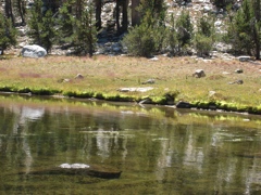
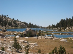
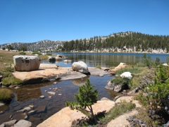
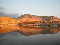
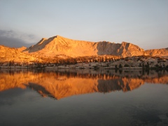
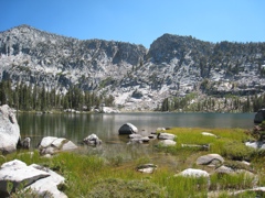
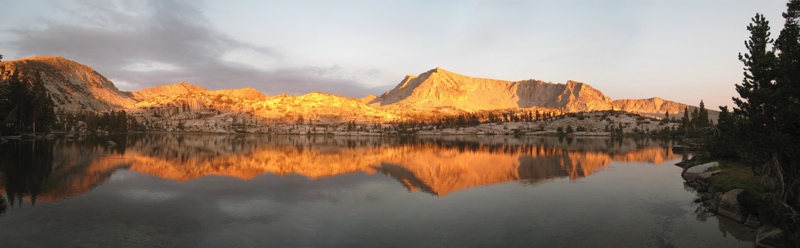
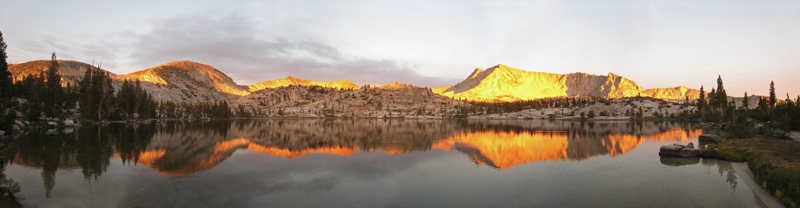
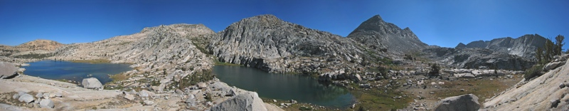
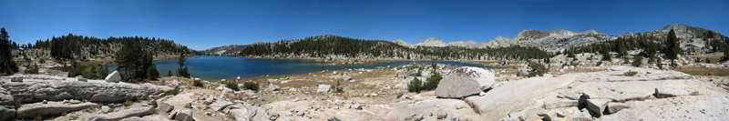
McGuire Lakes
|
|
|
|
|
|
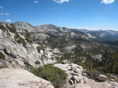
Panoramas
|
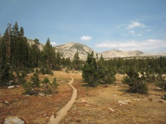
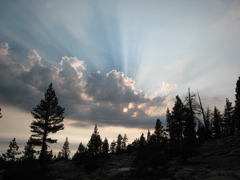
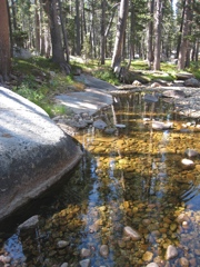
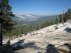
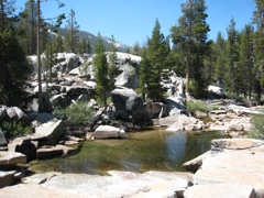
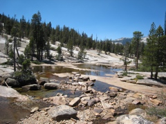
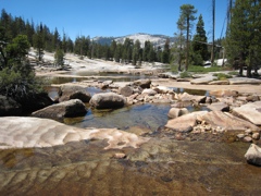
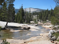
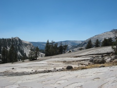
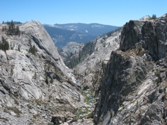
I took these pictures on a 6-day backpacking trip with Ed and Alyson
in the John Muir Wilderness in August 2007.
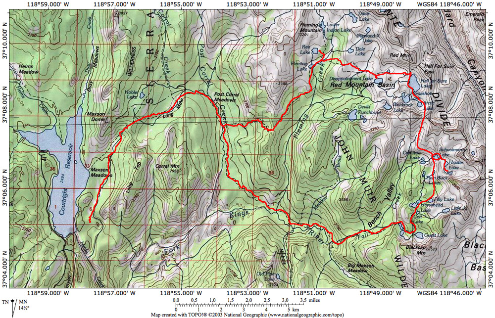
Here is a
map with our route indicated. You can see where this area is on a larger map.
I also made a map with clickable
arrows pointing in the direction of each
photo. You may also want to check out the zoomable Topozone map of the region. |
© 2007 Susanne Z. Riehemann