|
|
|
|
|
|
|
|
|
|
|
|
|
|
|
|

|
|
|
|
|
|
|
|
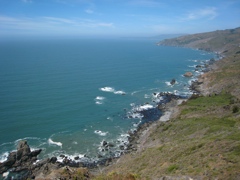
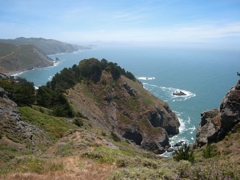
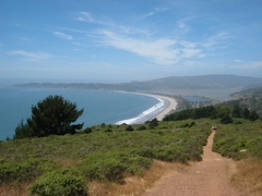
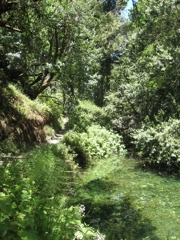
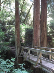
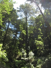
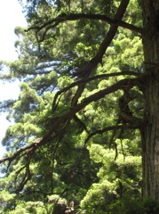
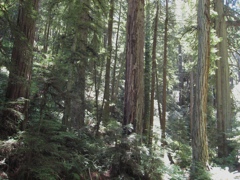
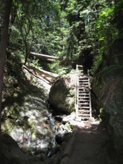
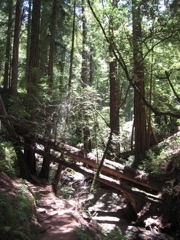
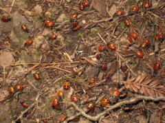
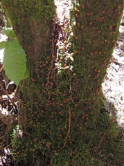
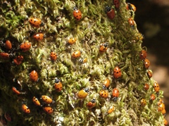
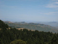
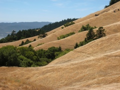
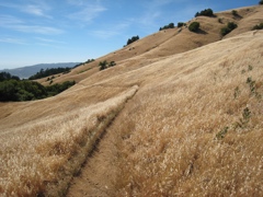
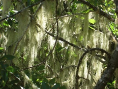
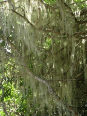
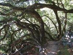
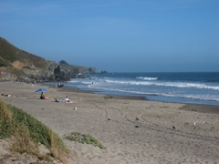
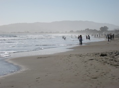
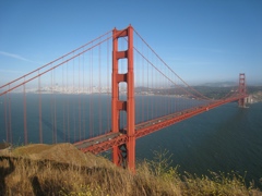
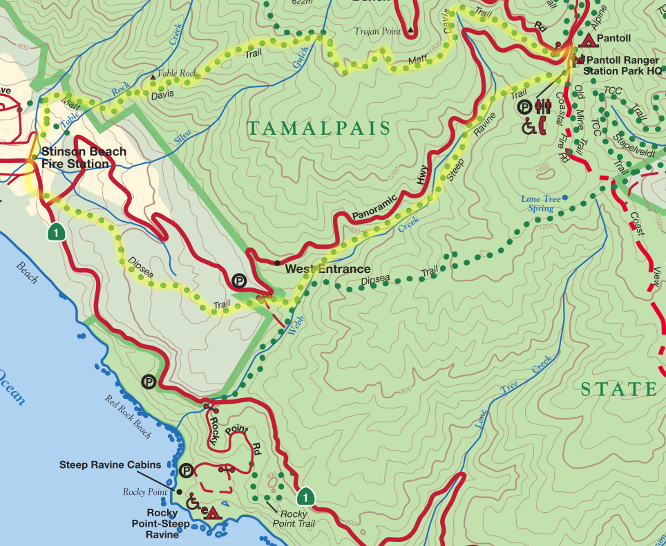
I took these pictures on a 7 mile hike at Mount Tamalpais on June 8, 2008. We went from Stinson Beach up the Steep Ravine trail to the Pantoll Ranger Station, and back down the Matt Davis trail. Here's a map with our trails indicated in yellow, cropped out of this brochure. |
© 2008 Susanne Z. Riehemann