Bishop Pass to Taboose Pass


Long Lake

Bishop Pass and Mount Agassiz

Bishop Lake and Saddlerock Lake

Isosceles Peak

Dusy Basin

Isosceles Peak

Columbine Peak and Knapsack Pass

Mt Agassiz, Mt Winchell, Isosceles Peak

Giraud Peak

Dusy Basin Reflections

Southernmost Lake in Upper Dusy Basin

Lower Dusy Basin Lakes & Black Divide

Barrett Lakes Basin

Barrett Lakes Reflection

Barrett Lakes

North Palisade

Barrett Lakes

View South from Potluck Pass

'Glacier Creek Lake' from Potluck Pass

Palisade Crest

'Cirque Pass'

Observation Peak

Glacier Creek

Potluck Pass

View South from 'Cirque Pass'

Tarn & Upper Palisade Lake

'Cirque Pass' tarn

Palisade Lakes

Pond and Lower Palisade Lake

Lower Palisade Lake

Lower Palisade Lake

Sunset on Mt Bolton Brown

Palisade Creek

Lower Palisade Lake

Lower Palisade Lake

Lower Palisade Lake and Devils Crags

Upper Palisade Lake and Mather Pass

Trailside Vegetation

Upper Palisade Lake

The Palisades from Mather Pass

Upper Basin from Mather Pass

Upper Basin

Split Mountain

Mount Pinchot

Arrow Peak

Striped Mountain

Taboose Pass

White Mountains from Taboose Pass

Evening Light on Taboose Creek Crags

Morning Light on Taboose Creek Crags

Taboose Creek Crags

Taboose Creek

Taboose Creek

Taboose Creek
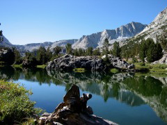
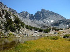
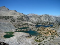
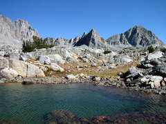
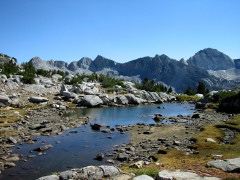
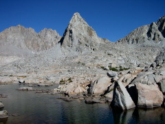
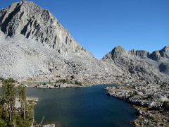
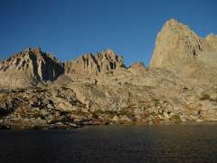
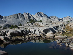
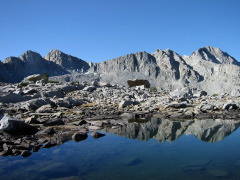
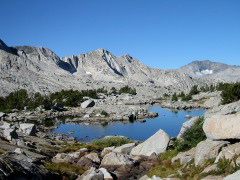
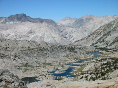
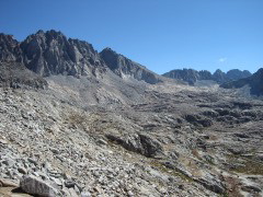
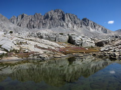
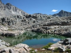
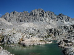
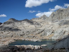
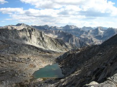
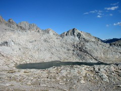
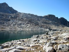
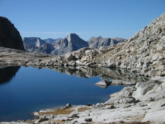
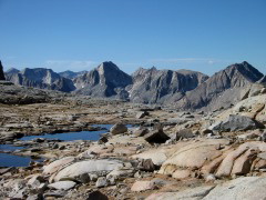
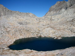
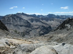
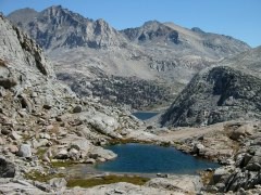
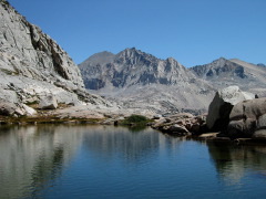
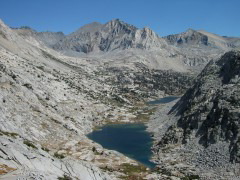
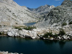
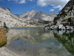
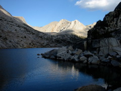
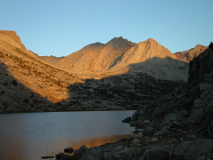
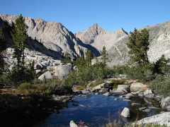
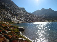
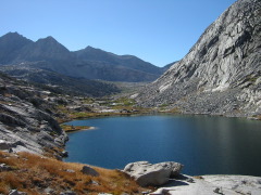
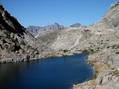
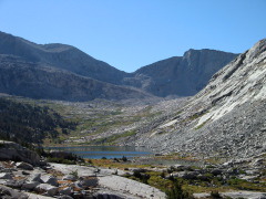
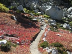
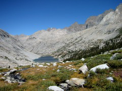
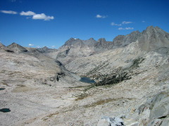
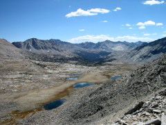
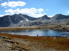
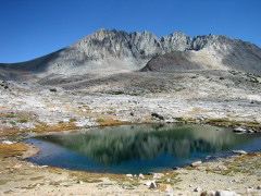
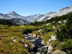
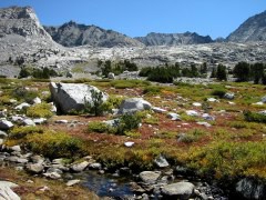
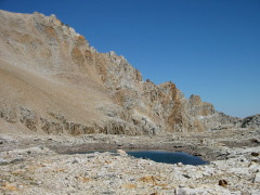
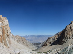
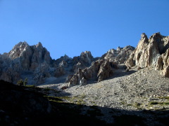
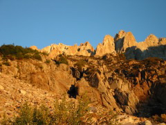
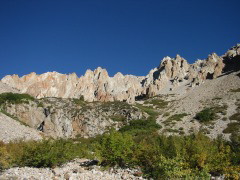
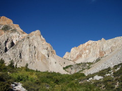
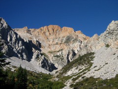
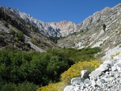
I took these pictures on a 6-day backpacking trip with Ed in the John Muir Wilderness and Kings Canyon National Park in September 2002.

Here is a map with our route indicated. Note that the stretch from Dusy Basin to Palisade Lakes is cross-country, i.e. there is no trail. You can see where this area is on a larger map.

I also made a map with clickable arrows pointing in the direction of each photo. The tip of the arrow indicates where I was standing when I took the photo.

You may also want to check out the zoomable Topozone map of the same region.

Back to Susanne's Photo Page

© 2002 Susanne Z. Riehemann