|

|

|

|

|

|

|

|
|
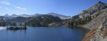
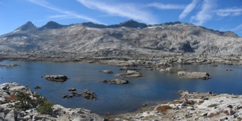
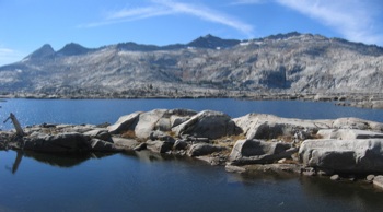
I took these pictures on a 4-night backpacking trip in the Desolation
Wilderness near South Lake Tahoe in October 2005.
We started at the Fallen Leaf Lake Trailhead (6550ft), and went via
Lake Aloha (8200ft), Heather Lake (7900ft), Susie Lake (7800ft),
Gilmore Lake (8300ft), Dicks Pass (9450ft), Dicks Lake (8450ft),
Fontanillis Lake (8300ft), Middle Velma Lake (7950ft), and Eagle Lake
(7000ft), to the Eagle Falls Trailhead at Emerald Bay (6570ft).
Here is a map with our route indicated. Note that the trail from Lily Lake to near Triangle Lake is officially an "unmaintained trail", in reality not even a "use trail" in places - at least we didn't see any cairns on the rocky/bouldery/talusy parts... And it's steep - see the elevation profile (for the full pack part of the hike).
I also made a map with clickable arrows with the
arrows pointing in the direction of each photo.
You may also want to check out the zoomable Topozone map or a Google Maps Satellite View. Also check out the Quicktime VT Panorama from Mt Tallac. One evening we heard coyotes howling and making other strange sounds, and loud thunder reflecting off the cliffs around Gilmore Lake. © 2005 Susanne Z. Riehemann |