Rock Creek to McGee Creek via Hopkins Pass


Little Lakes Valley

Pond along the trail

Stream below Ruby Lake

Ruby Lake

Ruby Lake from above

View from Mono Pass

Rainbow at Golden Creek

Upper Hopkins Basin

View from Hopkins Pass

Big McGee Lake from Hopkins Pass

Red and White Mountain

Ed and Susanne at Hopkins Pass

Cornice where the descent starts

Chris on a ledge during the descent

The Route from below

Little Lake at the bottom of Hopkins Pass

Big McGee Lake

Waterfall near Big McGee Lake

Big McGee Lake

Meadow

Meadow and Stream

Little Lake in the forest

Chris crossing McGee Creek

Crags in McGee Canyon

McGee Creek trailhead
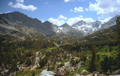
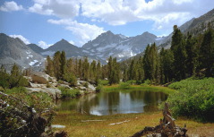
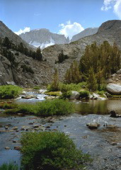
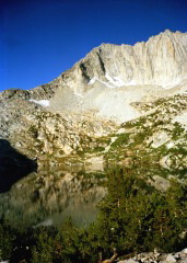
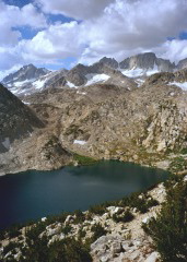
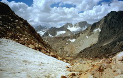
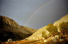
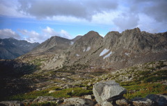
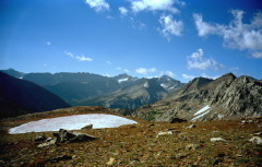
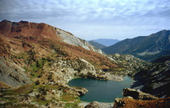
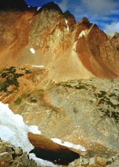
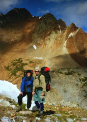
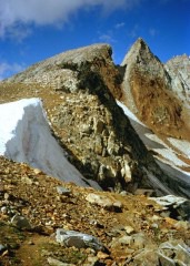
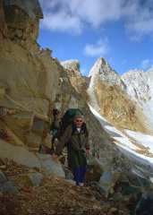
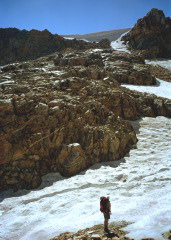
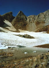
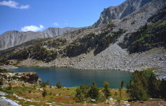
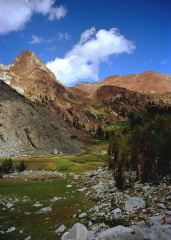
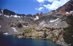
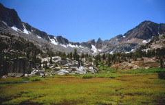
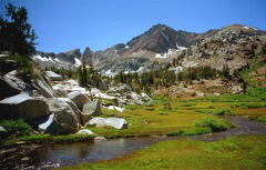
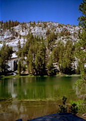
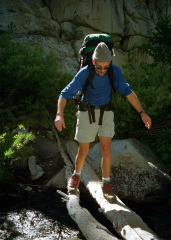
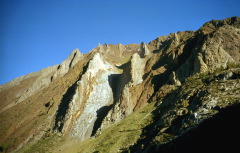
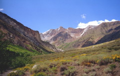
I took these pictures on a 4-day backpacking trip with Ed and Chris in the John Muir Wilderness in August 1999.

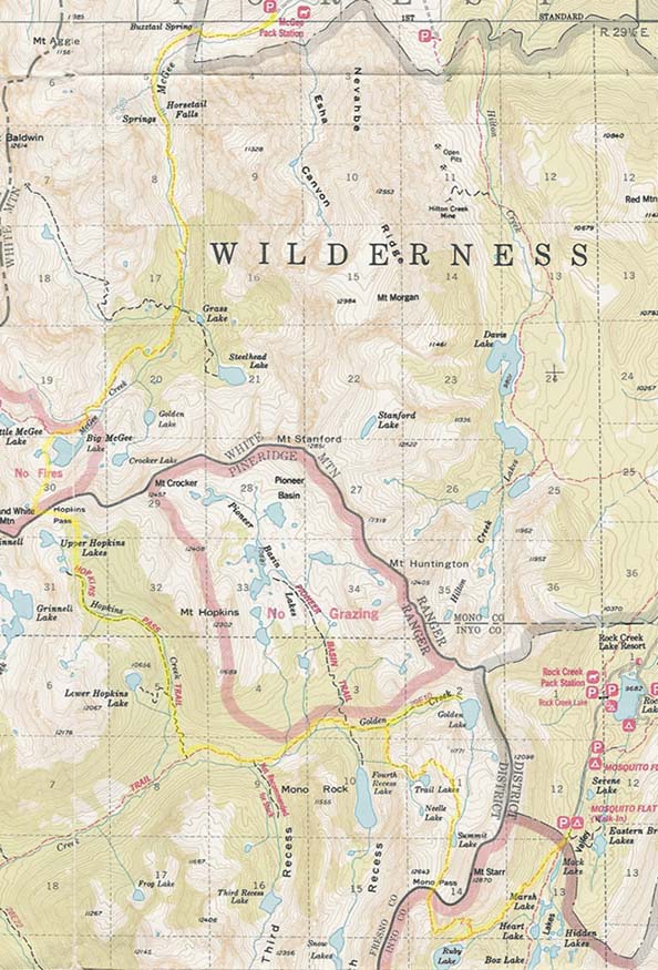
Here is a map with our route highlighted. You can see where this area is on a larger map.

I also made a map with clickable arrows, pointing in the direction of each photo. The tip of the arrow indicates where I was standing when I took the photo. Note that I added these arrows two years after the hike, so some of the locations may not be precise.

You may also want to check out the zoomable Topozone map of the same region.

Back to Susanne's Photo Page

© 1999 Susanne Z. Riehemann