
Lighting Studies
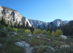
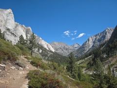
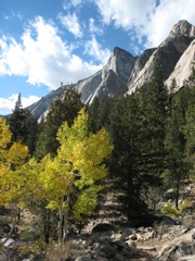
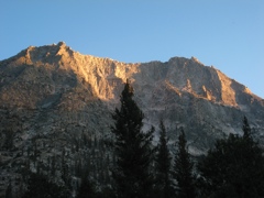
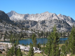
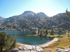
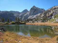
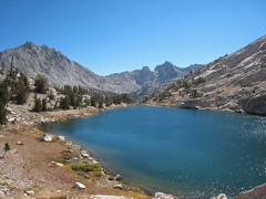
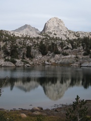
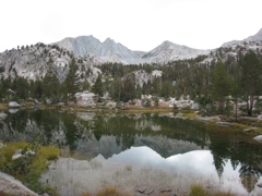
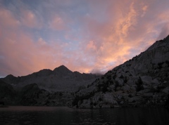
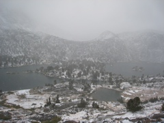
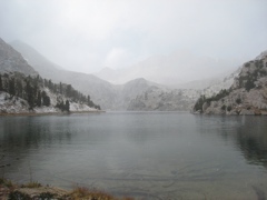
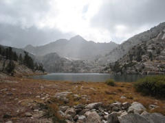
Rae Lakes Campsite
4pm |
6pm |
7pm |
7:30am |
7:45am |
9:30am |
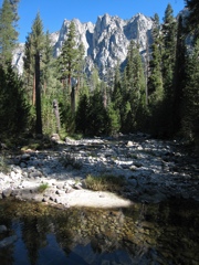
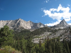
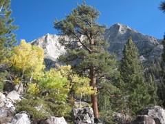
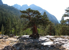
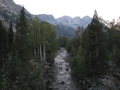
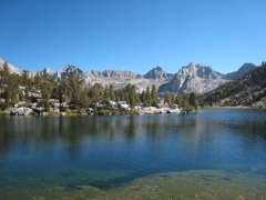
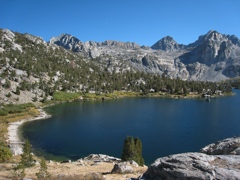
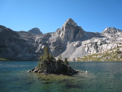
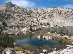
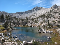
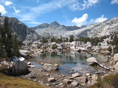
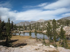
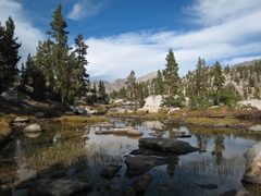
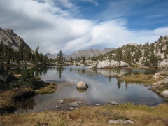
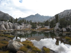
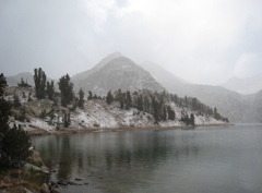
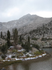
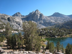
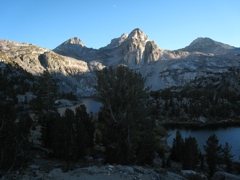
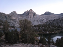
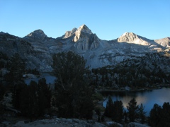
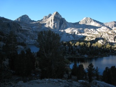
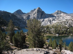
Sixty Lake Basin Campsite
6pm |
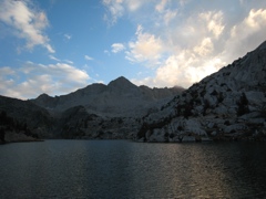
6:45pm |
7pm |
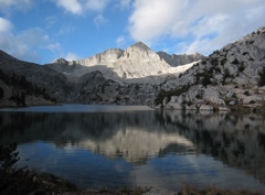
7:45am |
10:30am |
3pm |
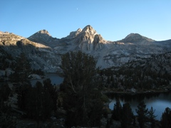
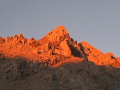
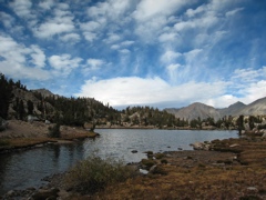
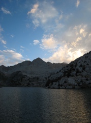
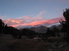
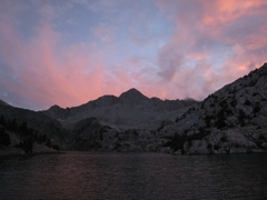
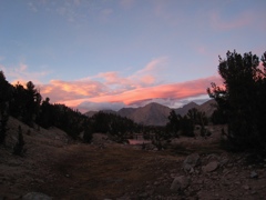
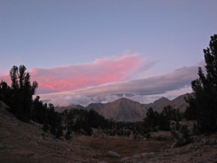
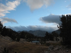
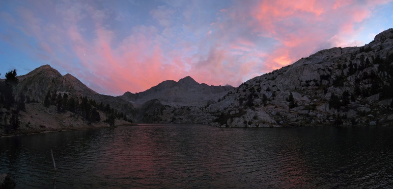
Evening Clouds
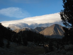
6:30pm |
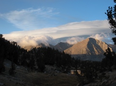
6:45pm |
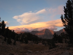
6:55pm |
7:05pm |
7:10pm |
7:15am |
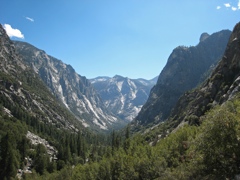
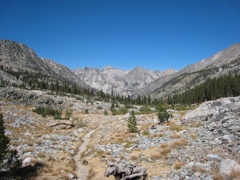
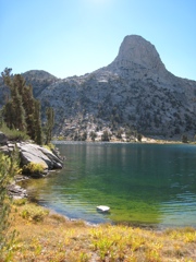
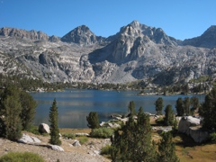
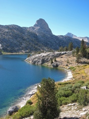
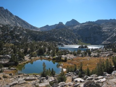
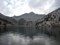
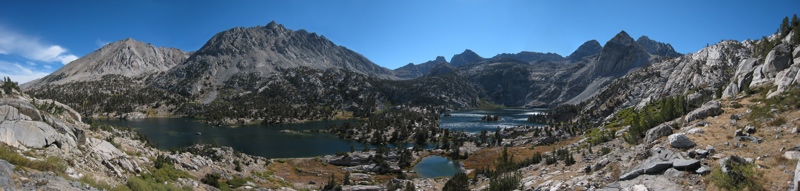
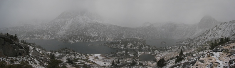
Panoramas
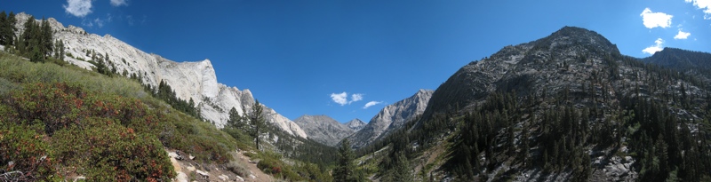
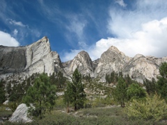
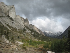
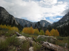
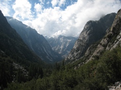
Castle Domes |
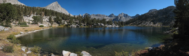
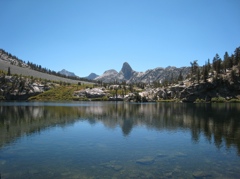
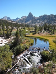
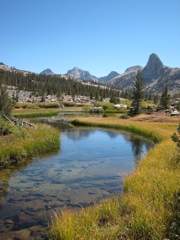
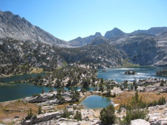
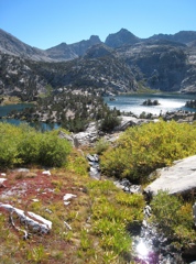
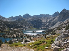
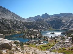
Rae Lakes |
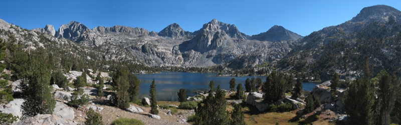
Rae Lakes |
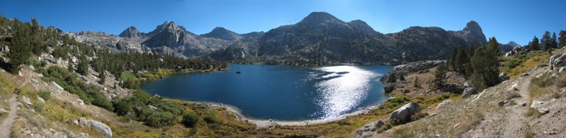
Rae Lakes |
Rae Lakes |
Rae Lakes |
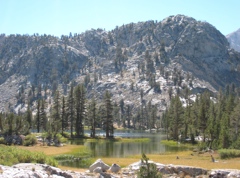
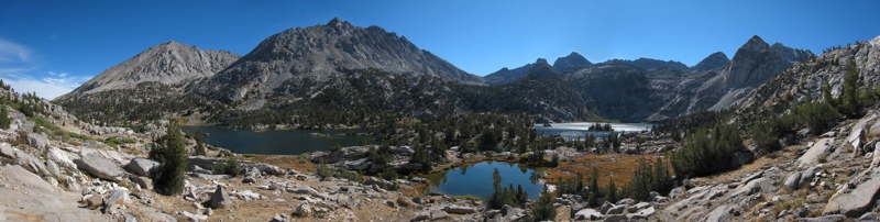
Sixty Lake Basin |
Rae Lakes |
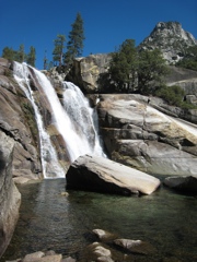
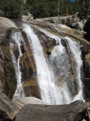
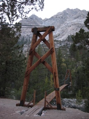
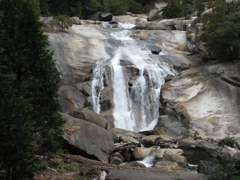
| Movies: | Mist Falls, Cascades 1, Cascades 2, Cascades 3, Rattlesnake, Suspension Bridge, Caterpillar Clouds |
|
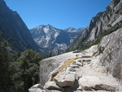
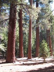
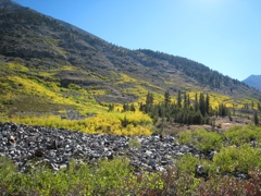
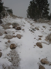
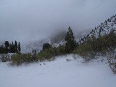
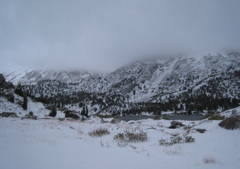
I took these pictures on a 7-day backpacking trip with Ed
in Kings Canyon National Park in September 2007.
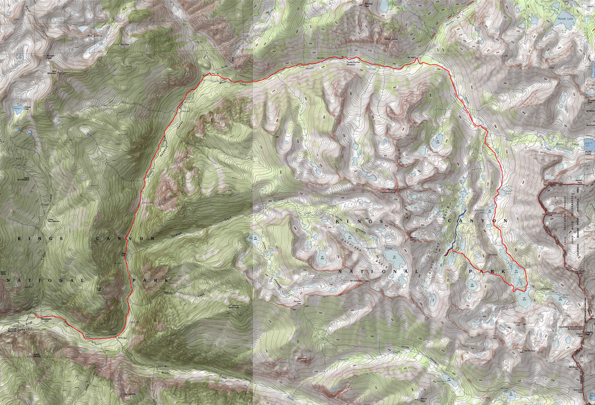
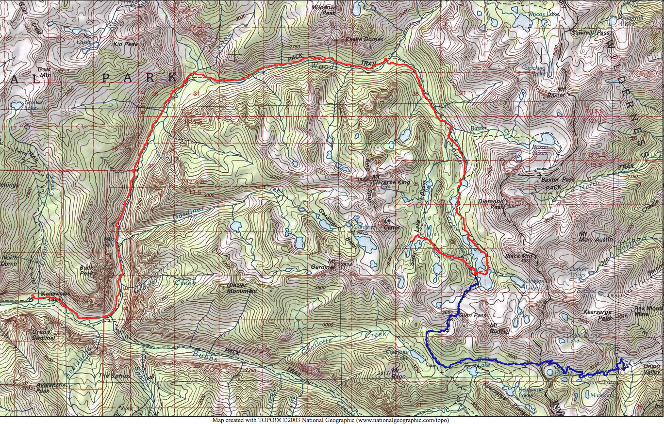
Here is a map with our route indicated. You can see where this area is on a larger map. I also made a map with clickable arrows pointing in the direction of each photo. The tip of the arrow indicates where I was standing when I took the photo. You may also want to check out the zoomable Topozone map of the region. This was supposed to be a west-to-east Sierra crossing trip, swapping car keys with Paul and Mark. But we couldn't continue over Glen Pass and Kearsarge Pass on Friday because of the snow storm :( So we ended up walking the 22 miles back to Cedar Grove (red on this map) in a day and a half, instead of going just 10 miles to Onion Valley (blue on this map), resulting in a total distance of about 50 miles, and about 6700ft elevation gain and loss. We also had to do 7 hours of driving on Saturday afternoon/evening to get to Paul's car, and 8 hours of driving on Sunday. Here are some pictures from the road. |
© 2007 Susanne Z. Riehemann