|
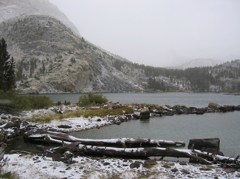
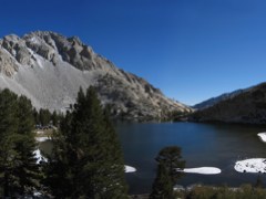
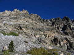
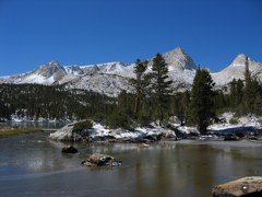
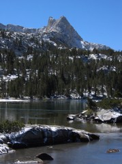
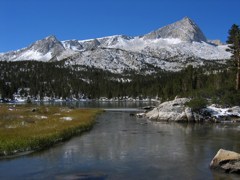
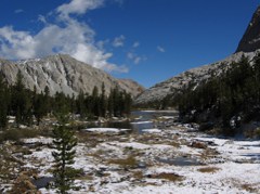
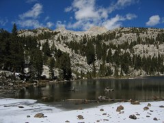
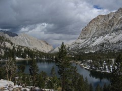
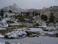
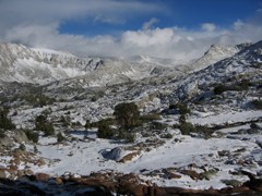
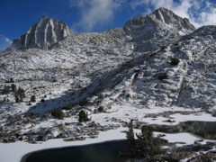
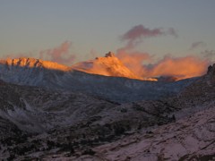
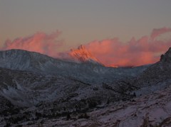
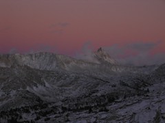
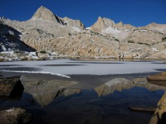
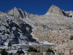
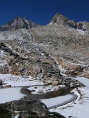
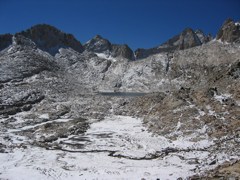
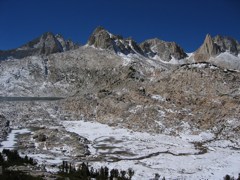
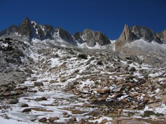
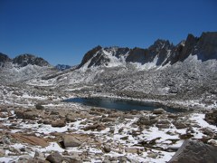
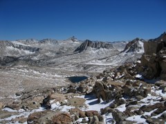
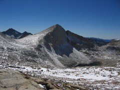
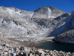
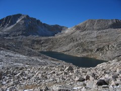
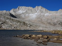
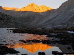
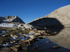
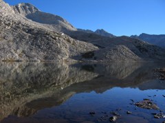
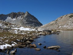
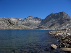
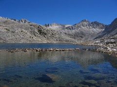
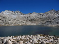
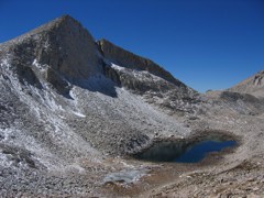
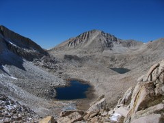
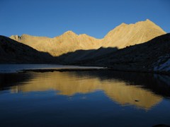
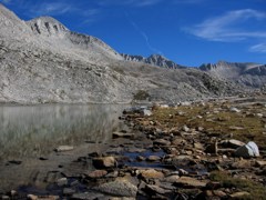
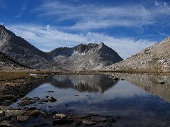
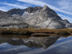
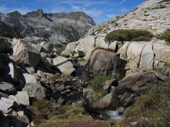
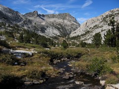
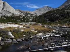
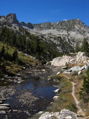
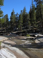
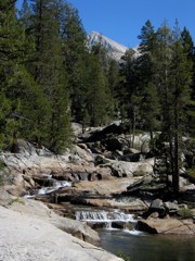
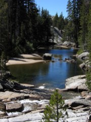
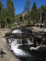
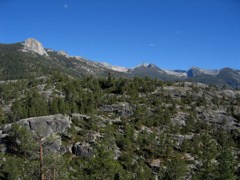
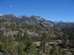
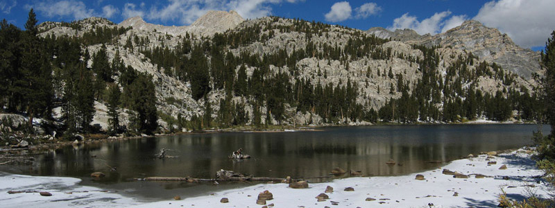
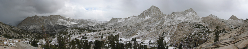
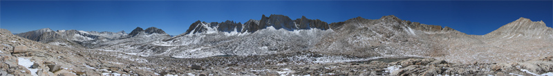
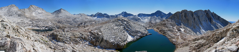
I took these pictures on a 6-day backpacking trip with Ed in the John Muir
Wilderness in September 2004.
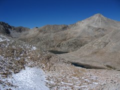
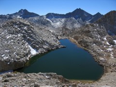
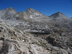
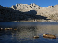
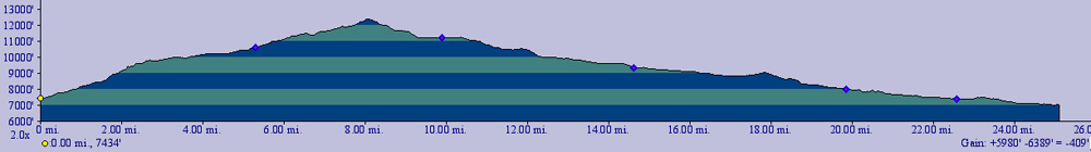
We started at the Pine Creek Trailhead (7400ft) on the Eastern side of the Sierras, crossed Italy Pass (12400ft/3800m), met Paul and Mark at Lake Italy (11200ft/3400m), exchanged car keys, and exited on the Western side where they had started (Bear Creek Trailhead at Kaiser Pass Road, 7000ft). The total distance was about 35 miles, with an elevation gain of about 6000ft and an elevation loss of about 6500ft. Here's the elevation profile. According to this nearby High Sierra Remote Weather Sensor at Big Pine Lakes (9800ft), the night temperature was 4°F (-16°C) on Sunday 9/19/04, and 6°F on Monday 9/20/04, and it snowed on both of these days. This was a very unusual weather pattern due to a strong Gulf-of-Alaska cold frontal system.
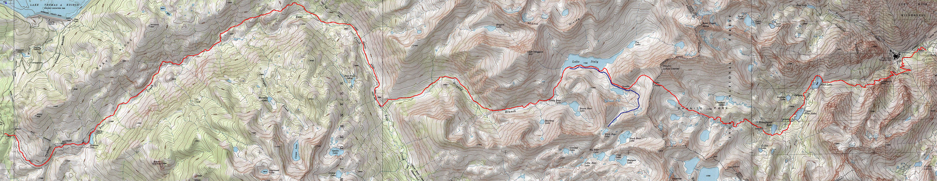
Here is a map with our route indicated. It's so
wide that you'll have to scroll to see the Eastern part.
You can see where this area is on a larger map.
I also made a
map with clickable arrows for the High Sierra portion of the hike,
with the arrows pointing in the direction of each photo.
You may also want to check out the zoomable Topozone map of the same region. |
© 2004 Susanne Z. Riehemann

