|
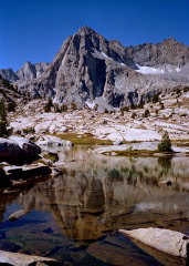
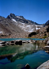
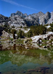
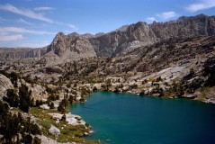
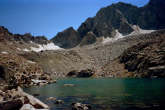
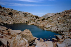
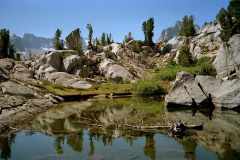
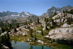
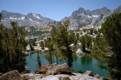
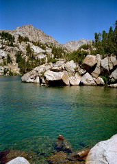
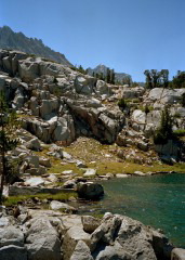
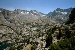
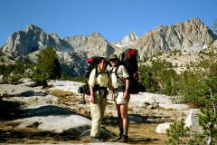
I took these pictures on a 5-day backpacking trip with Ed, Ted, and Alyson in the John Muir Wilderness in August 2001.
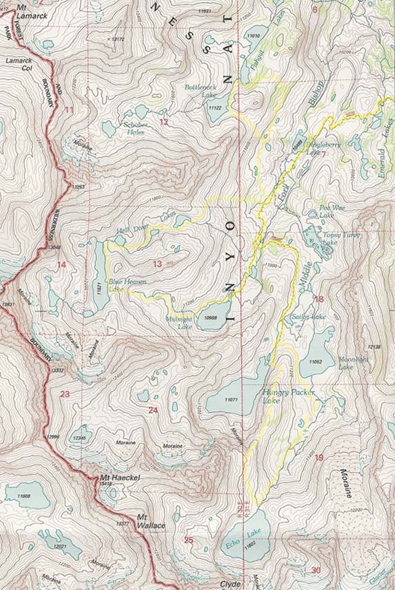
Here is a map with our route indicated. The light yellow lines are approximations of the routes of our cross-country dayhikes, which involved crossing many boulder fields and a few short stretches of Class 3 scrambling. You can see where this area is on a larger map. I also made a map with clickable arrows pointing in the direction of each photo. The tip of the arrow indicates where I was standing when I took the photo. You may also want to check out the zoomable Topozone map of the same region. Or do a Sabrina Basin Jigsaw Puzzle! |
© 2001 Susanne Z. Riehemann